|

|

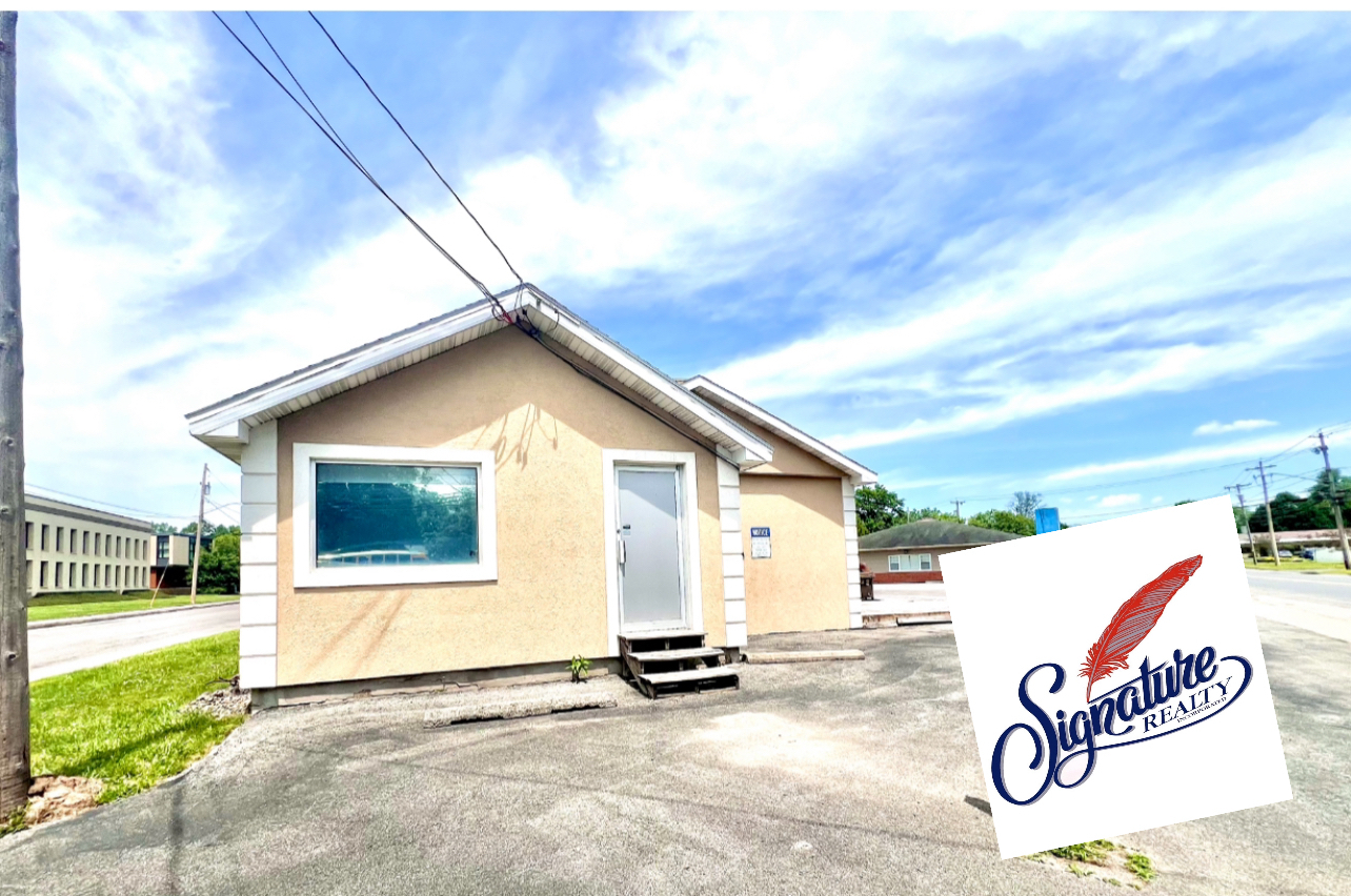
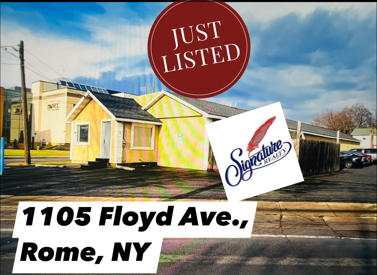
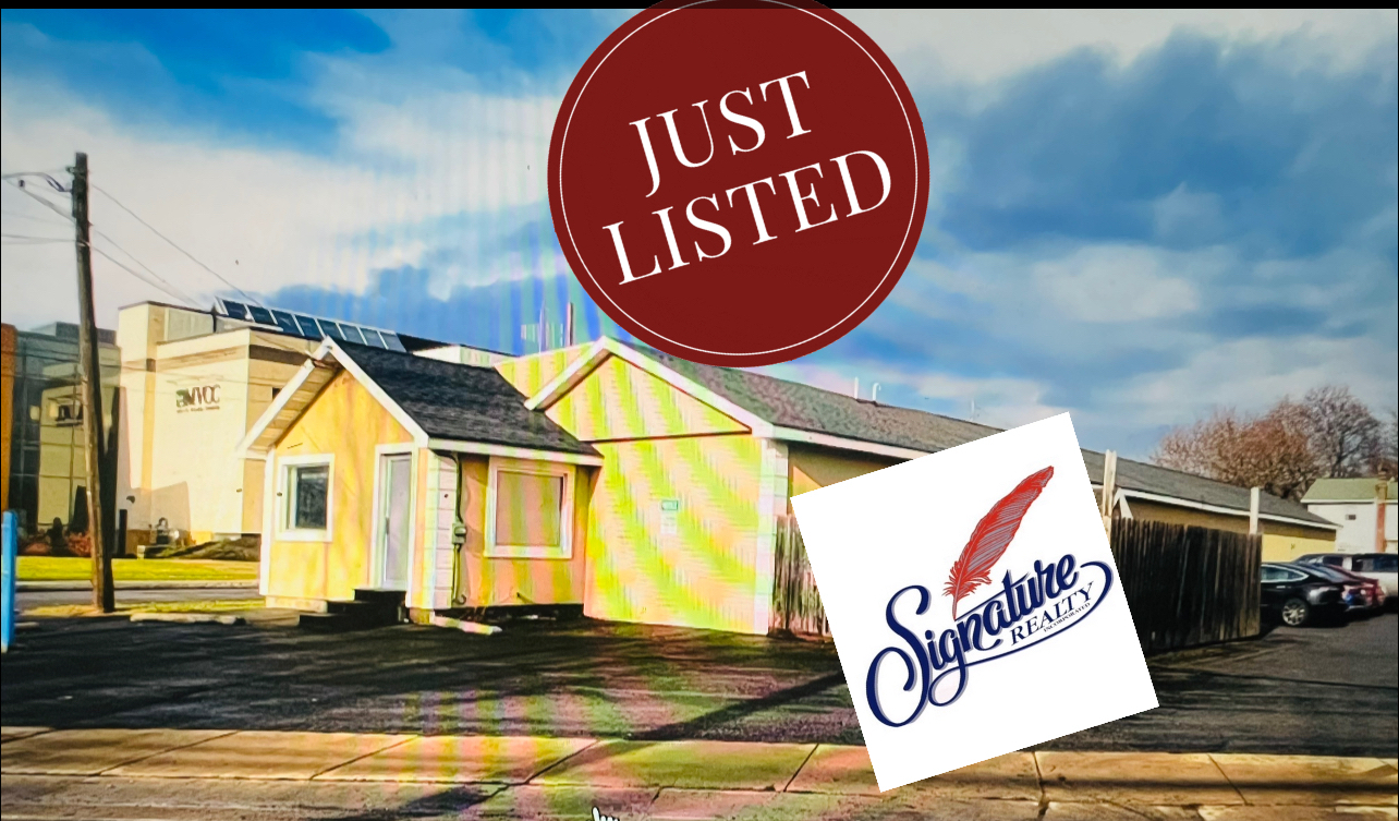
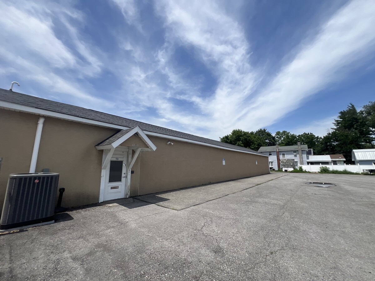
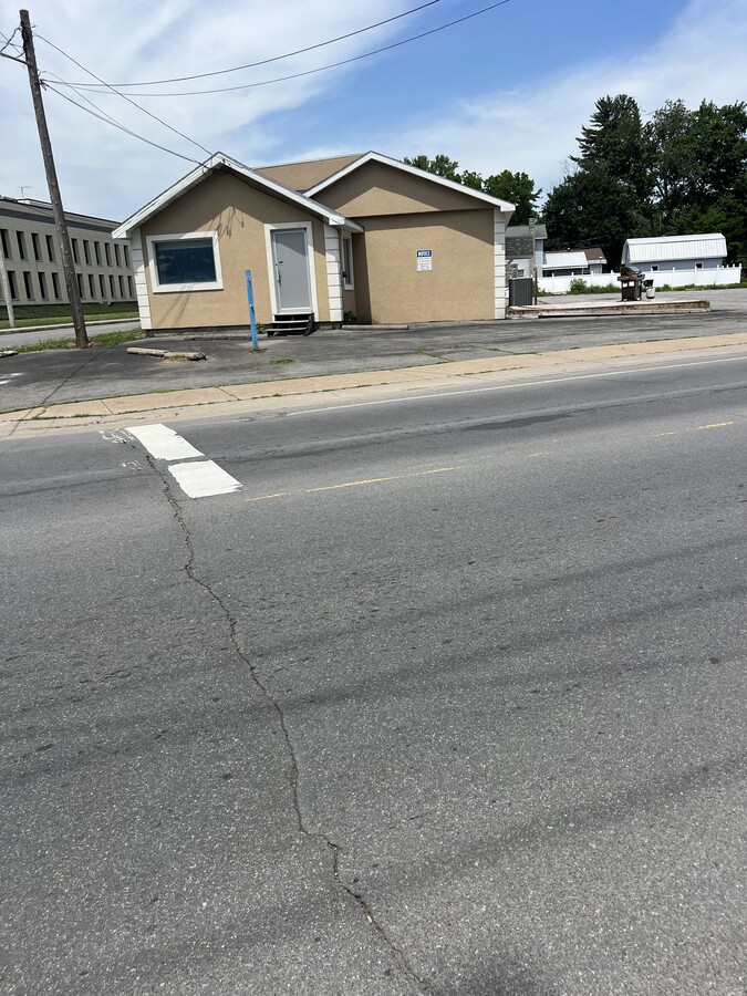
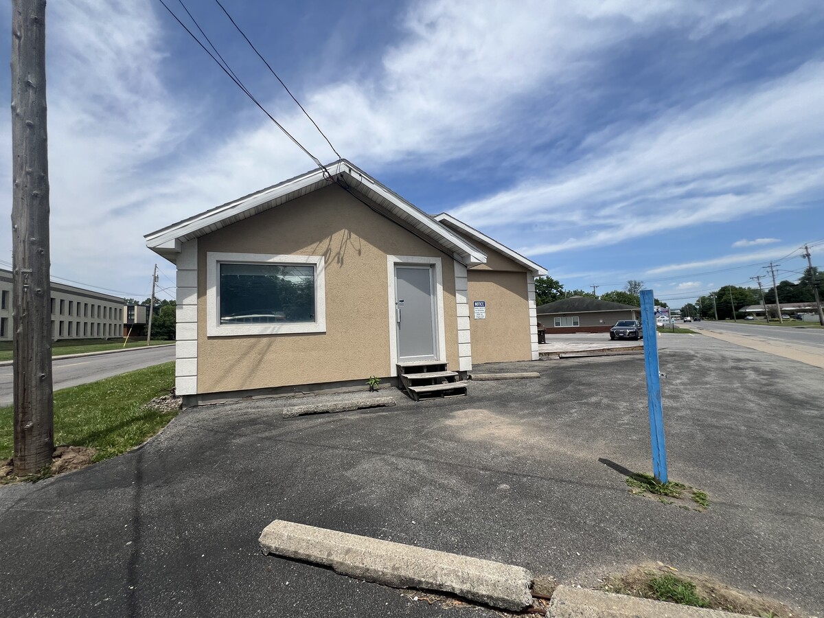
1105 Floyd Ave 4,300 SF of Office/Medical Space Available in Rome, NY 13440
SPACE AVAILABILITY (1)
Display Rental Rate as
- SPACE
- SIZE
- TERM
- RENTAL RATE
- RENT TYPE
| Space | Size | Term | Rental Rate | Rent Type | ||
| 1st Floor, Ste 1 | 4,300 SF | Negotiable | Upon Request Upon Request Upon Request Upon Request Upon Request Upon Request | TBD |
1st Floor, Ste 1
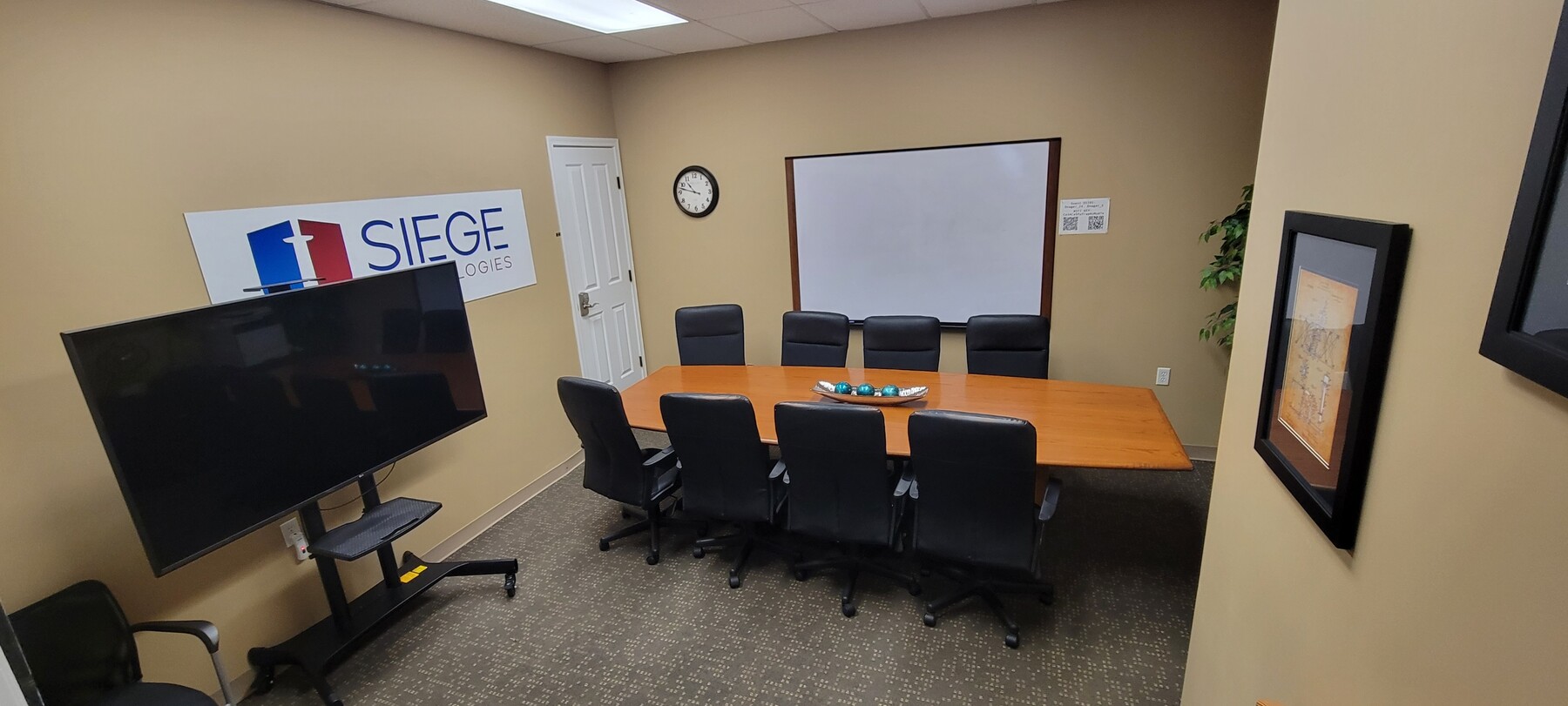
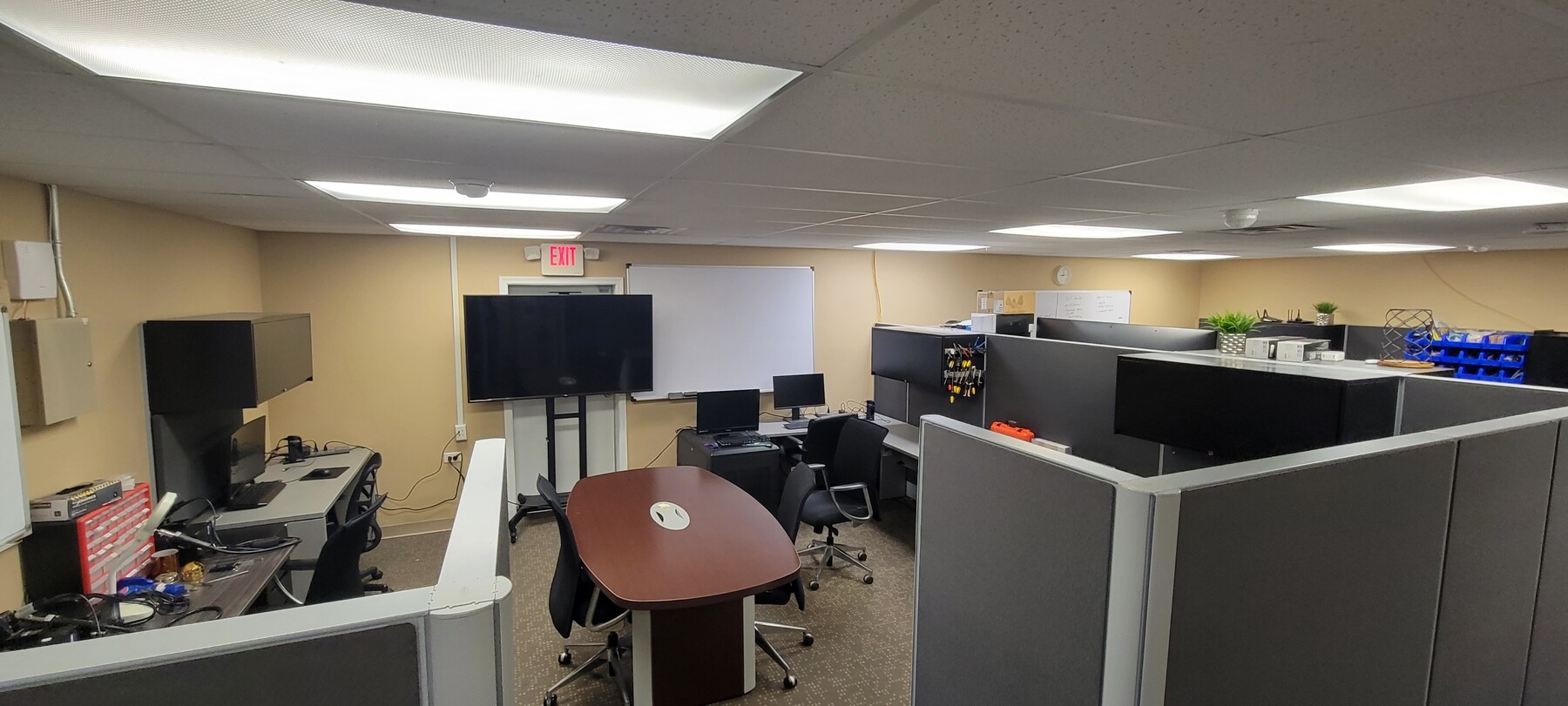
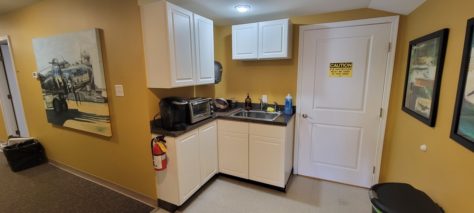
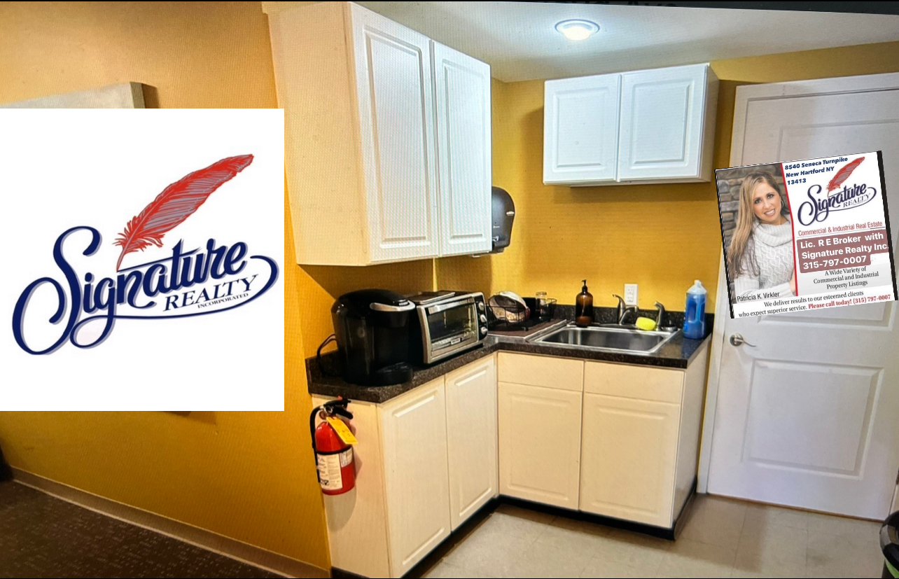
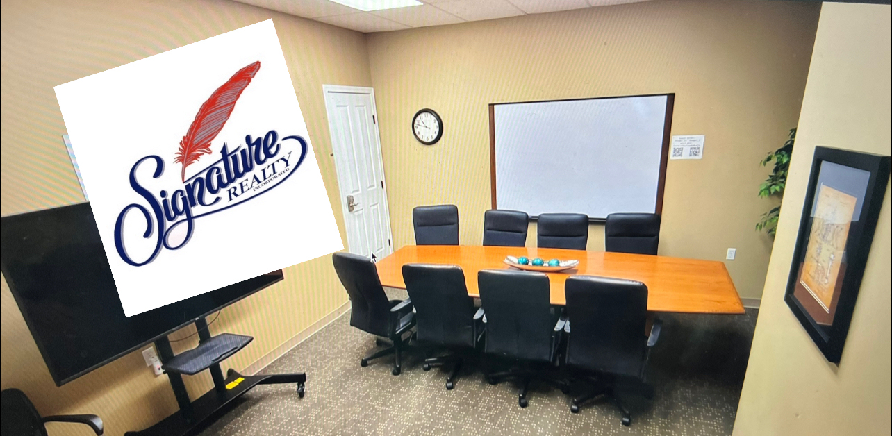
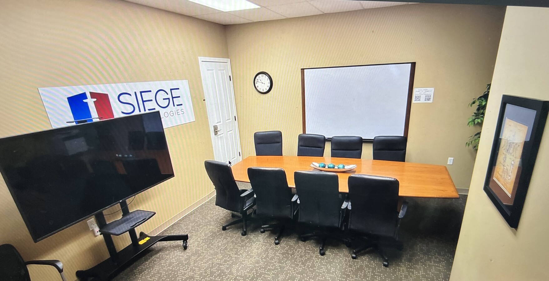
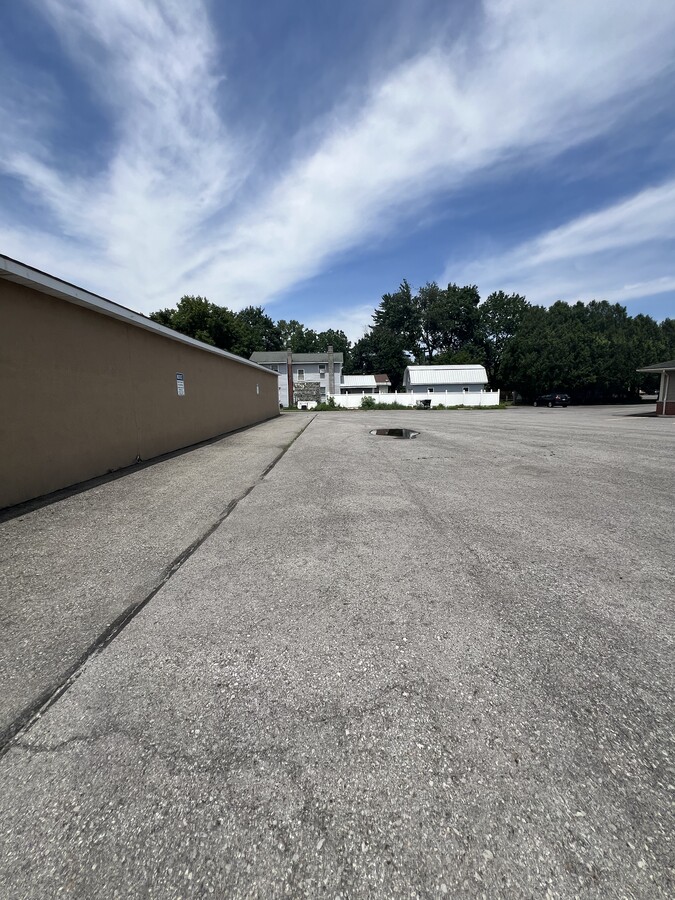
Lease office space in Rome NY - Ground floor offices. Signage available. Great for professional offices with their own interior restrooms. Ample free parking. Walking distance to restaurants. Large professional office suite's with 5 private offices and reception area, conference room and kitchenette. A nice and affordable building with quick access to Griffiss international Airport and the Griffiss business and technology park ,just minutes to downtown. Well maintained. A large first floor (4300+ sf) space assembled with direct access to parking lot. This space would be a great spot for a professional user. Located in Rome NY, just minutes from several restaurants and retail shops. Quick access to Hospital. 4,300 square feet of office space for lease in Rome, NY.
- Fully Built-Out as Standard Office
- 1 Conference Room
- Space is in Excellent Condition
Rent Types
The rent amount and type that the tenant (lessee) will be responsible to pay to the landlord (lessor) throughout the lease term is negotiated prior to both parties signing a lease agreement. The rent type will vary depending upon the services provided. For example, triple net rents are typically lower than full service rents due to additional expenses the tenant is required to pay in addition to the base rent. Contact the listing broker for a full understanding of any associated costs or additional expenses for each rent type.
1. Full Service: A rental rate that includes normal building standard services as provided by the landlord within a base year rental.
2. Double Net (NN): Tenant pays for only two of the building expenses; the landlord and tenant determine the specific expenses prior to signing the lease agreement.
3. Triple Net (NNN): A lease in which the tenant is responsible for all expenses associated with their proportional share of occupancy of the building.
4. Modified Gross: Modified Gross is a general type of lease rate where typically the tenant will be responsible for their proportional share of one or more of the expenses. The landlord will pay the remaining expenses. See the below list of common Modified Gross rental rate structures: 4. Plus All Utilities: A type of Modified Gross Lease where the tenant is responsible for their proportional share of utilities in addition to the rent. 4. Plus Cleaning: A type of Modified Gross Lease where the tenant is responsible for their proportional share of cleaning in addition to the rent. 4. Plus Electric: A type of Modified Gross Lease where the tenant is responsible for their proportional share of the electrical cost in addition to the rent. 4. Plus Electric & Cleaning: A type of Modified Gross Lease where the tenant is responsible for their proportional share of the electrical and cleaning cost in addition to the rent. 4. Plus Utilities and Char: A type of Modified Gross Lease where the tenant is responsible for their proportional share of the utilities and cleaning cost in addition to the rent. 4. Industrial Gross: A type of Modified Gross lease where the tenant pays one or more of the expenses in addition to the rent. The landlord and tenant determine these prior to signing the lease agreement.
5. Tenant Electric: The landlord pays for all services and the tenant is responsible for their usage of lights and electrical outlets in the space they occupy.
6. Negotiable or Upon Request: Used when the leasing contact does not provide the rent or service type.
7. TBD: To be determined; used for buildings for which no rent or service type is known, commonly utilized when the buildings are not yet built.
SELECT TENANTS AT 1105 FLOYD AVE, ROME, NY 13440
- TENANT
- DESCRIPTION
- US LOCATIONS
- REACH
- Siege Technologies
- Other Services
- 1
- Regional
| TENANT | DESCRIPTION | US LOCATIONS | REACH |
| Siege Technologies | Other Services | 1 | Regional |
PROPERTY FACTS
| Total Space Available | 4,300 SF | Gross Leasable Area | 6,144 SF |
| Property Type | Retail | Year Built | 1956 |
| Property Subtype | Freestanding | Parking Ratio | 2.22/1,000 SF |
| Total Space Available | 4,300 SF |
| Property Type | Retail |
| Property Subtype | Freestanding |
| Gross Leasable Area | 6,144 SF |
| Year Built | 1956 |
| Parking Ratio | 2.22/1,000 SF |
ABOUT THE PROPERTY
This property was a former Cyber Security Operations Center (CSOC) and full stocked with 3 dedicated cybersecurity rooms known as SCIF- Business and Technology Park Sensitive Compartmented Information Facility (pronounced “skiff”), a U.S. Department of Defense term for a secure room. It can be a secure room or a data center that guards against electronic surveillance and suppresses data leakage of sensitive military and security information. SCIFs are used to deny unauthorized personnel, such as foreign intelligence services or corporate spies, the opportunity for undetected entry into facilities for the exploitation of sensitive activities. . The CSOC currently serves as a centralized hub for proactively monitoring.
- Bus Line
- Signage
TRAFFIC
| COLLECTION STREET | CROSS STREET | TRAFFIC VOLUME | YEAR | Distance |
|---|---|---|---|---|
| Floyd Ave | Broadway, NE | 6,337 | 2025 | 0.06 mi |
| Floyd Avenue | Tennyson Ave, W | 6,717 | 2025 | 0.14 mi |
| Park Drive | Mustang Dr, S | 1,921 | 2023 | 0.17 mi |
| MUSTANG DRIVE from PARK DRIVE to PARK DR MANOR | Mustang Dr, W | 491 | 2025 | 0.25 mi |
| Floyd Avenue | Wright Park, E | 6,806 | 2025 | 0.26 mi |
| Floyd Avenue | - | 6,825 | 2024 | 0.31 mi |
| NY 825 | Market St, NW | 10,873 | 2024 | 0.37 mi |
| Hill Road | Market St, NW | 10,853 | 2025 | 0.38 mi |
| Park Drive | Mars Dr, S | 1,781 | 2025 | 0.44 mi |
| NY 825 | E Chestnut St, W | 13,480 | 2024 | 0.44 mi |
NEARBY MAJOR RETAILERS


MAP
ADDITIONAL PHOTOS
 Interior Photo
 Interior Photo
 Interior Photo
 Interior Photo
 Building Photo
 Building Photo
 Interior Photo
 Interior Photo
 Interior Photo
 Building Photo
 Building Photo
 Building Photo
 Building Photo